If you run a farm operation or manage agronomy procurement, you have probably been pitched multispectral drone imaging agriculture Canada providers selling expensive maps. The honest answer: when the workflow is set up right, this service cuts scouting hours by sixty to eighty percent, catches nitrogen and water stress two to three weeks before you can see it from the cab, and pays back inside one growing season on most cash crops above 200 acres. Below is what the data actually looks like, what it replaces, what it costs, and how to vet a provider of commercial drone services before you cut a purchase order.
What Multispectral Drone Imaging Shows in Canadian Agriculture
A regular camera sees red, green, and blue. A multispectral sensor captures five or more bands, including red edge and near-infrared. Plants reflect near-infrared light very differently when they are stressed, long before the human eye sees yellowing or wilt. That is the entire point of the service.
From those bands a service provider builds vegetation indices. NDVI is the most familiar. NDRE is more useful in mid-season corn and dense canopy crops because it saturates later. Chlorophyll maps point you straight at nitrogen deficiency. Water stress maps tell you whether your pivots are reaching the corners. Each layer answers a specific operating question, not a general one.
The output is not a pretty picture. It is a georeferenced map with zones, percentages, and field boundaries you can pull straight into John Deere Operations Center, Climate FieldView, or Trimble Ag. Your agronomist gets a scouting plan that says go to this 4.2 acre block on the northwest quarter instead of walking the whole 160. That is the value proposition of multispectral drone imaging agriculture Canada operators are selling.
The ROI: What Multispectral Drone Imaging Replaces on the Farm
Procurement is about replacing cost. Multispectral drone imaging agriculture Canada services replace four things you are already paying for:
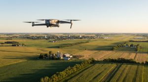
- Manual scouting hours. A two-person crew walking a quarter section of soybeans burns four to six hours and still misses interior patches. A drone covers the same quarter section in twelve to fifteen minutes.
- Satellite imagery you wait two weeks for. Sentinel-2 and Planet are useful at the regional scale, but cloud cover over Ontario and the Prairies kills usable revisits for half the season. A drone flies when you need it, at 2 to 5 cm per pixel rather than 3 to 10 metres.
- Blanket fertilizer applications. A 2,000 acre corn operation that switches from flat-rate to a variable-rate nitrogen prescription built on aerial data and analytics typically saves between 12 and 18 dollars per acre on urea, depending on the year. That is $24,000 to $36,000 in input savings against a service bill in the $8,000 to $15,000 range for the whole season.
- Yield loss. Catching a pivot misalignment, an unseen drainage problem, or an early disease outbreak two weeks early can save 3 to 8 bushels per acre on corn. That alone covers the program.
A working number to give your finance team is this: budget $4 to $7 per acre, per flight, for a turnkey service that includes flight, processing, prescription file, and an agronomy debrief. Most clients run three to five flights per season per field, concentrated around V4 to V6 and tassel in corn, R2 to R4 in soybeans, and stem extension in cereals.
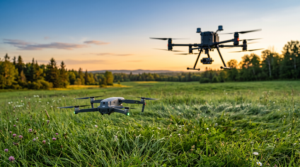
How a Multispectral Drone Imaging Mission Runs on a Canadian Farm
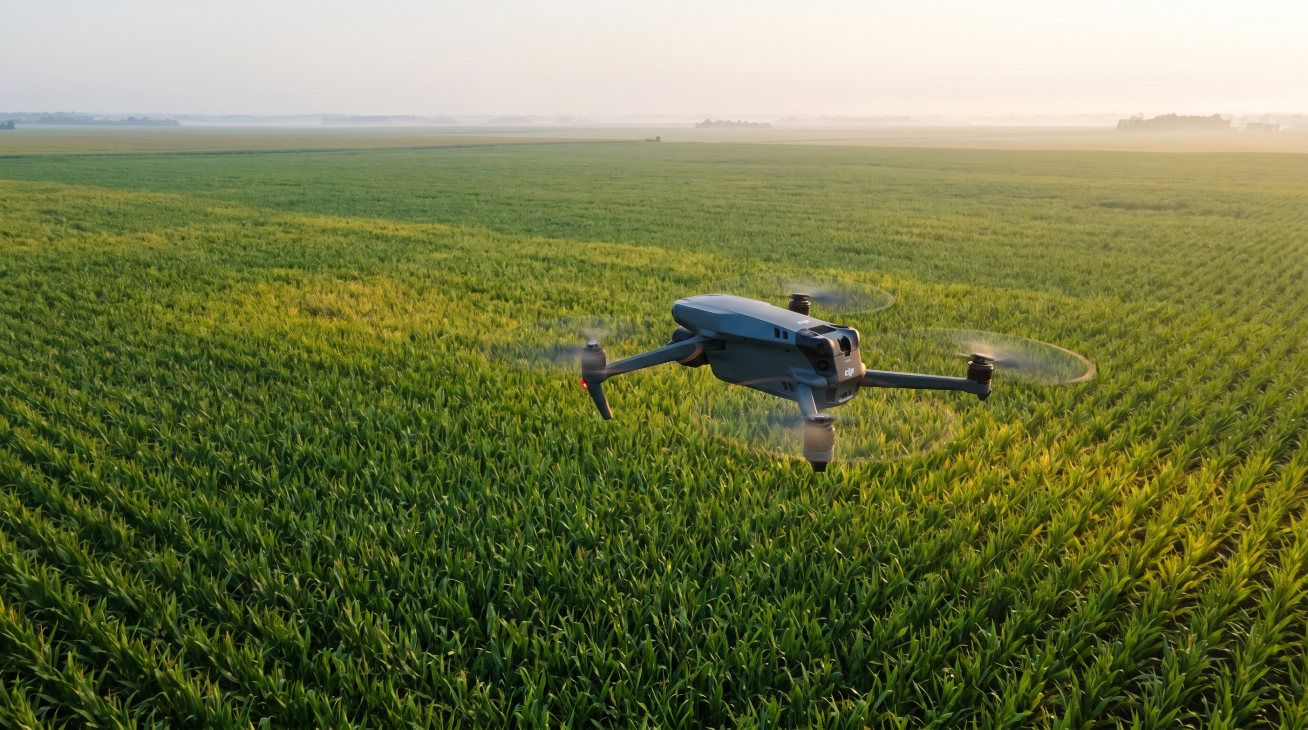
For a 320 acre quarter section the field day looks like this. The pilot arrives shortly after sunrise, when the sun angle is high enough to avoid long shadows and low enough to avoid hot spots. Most providers fly between 9:30 a.m. and 2:30 p.m. solar time for the cleanest reflectance data.
Flight planning is automated in DJI Terra, Pix4Dcapture, or DroneDeploy. Altitude is usually 100 to 120 metres above ground, giving 5 to 8 cm per pixel ground sample distance. A radiometric calibration panel is photographed before takeoff and after landing so the bands can be normalized. A DJI Mavic 3 Multispectral covers about 400 acres on one battery at that altitude. A Phantom 4 Multispectral covers 200 acres.
Processing takes three to twelve hours depending on the provider’s stack. A good operator delivers a georeferenced ortho, NDVI and NDRE maps, a zoned prescription shapefile, and a written agronomy note within 24 to 48 hours. Faster is possible, but anyone promising same-day deliverables on 500 acres is probably skipping radiometric correction. That is where multispectral drone imaging agriculture Canada projects go sideways. Bad calibration produces pretty maps and bad fertilizer decisions.
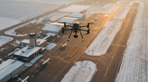
Canadian operators fly under Transport Canada’s RPAS regulatory framework. Open field agricultural missions usually fall under basic operations, but coverage near grain elevators, towns, or controlled airspace bumps a flight into advanced. Confirm your provider holds an advanced RPAS certificate and not just a basic one, because it changes where they can legally fly your fields.
Equipment Choices for Multispectral Drone Imaging Agriculture Canada Operations
Hardware matters because parts and service in July matter more than glossy datasheets. The DJI enterprise lineup dominates Canadian agriculture for one practical reason: dealer support across the country when something fails mid-season.
- DJI Mavic 3 Multispectral. Four 5 MP multispectral cameras plus a 20 MP RGB. 43 minute flight time. The current workhorse for fields under 500 acres per flight. Around $9,000 CAD for the platform.
- DJI Phantom 4 Multispectral. Older, slower workflow, still in heavy field use. Five multispectral bands plus RGB. The data is well understood and many agronomists are trained on it.
- MicaSense RedEdge-P or Altum-PT on a custom airframe. Higher accuracy, thermal in the same payload, slower to deploy, more expensive. The right pick when you need thermal water stress mapping alongside the multispectral data.
If your operation needs sensor combinations not available off the shelf, a swappable payload built by a custom drone engineering partner is often the right path. That said, about ninety percent of Canadian farm work is served well by stock DJI multispectral platforms.
How to Choose a Multispectral Drone Imaging Service Provider
Multispectral drone imaging agriculture Canada operators have professionalized fast over the last five years, but quality still varies wildly between providers. Ask any provider these questions before signing:
- Do you fly with a radiometric calibration panel on every flight? If they hesitate, walk away.
- Can you deliver prescription shapefiles compatible with my controller (John Deere, Case IH, Trimble, AGCO)?
- What is your turnaround time from flight to delivered map?
- Do you carry $5 million in aviation liability insurance, and can you name my farm as additionally insured?
- What is your agronomy interpretation capability, or are you handing me raw NDVI and walking away?
- Can you fly under advanced RPAS rules if my fields are inside controlled airspace?
Price is the last question, not the first. A $3 per acre provider that delivers uncalibrated NDVI and no agronomy notes is more expensive than a $6 per acre provider that delivers a usable variable-rate prescription. Compare on full delivered value, not headline price per acre.
Regulatory Reality You Should Confirm Before You Sign
Transport Canada requires every commercial drone operator to hold a valid RPAS pilot certificate, register the aircraft, and fly within Canadian Aviation Regulations Part IX. Agricultural flights below 122 metres above ground level, in uncontrolled airspace, and away from people are typically basic operations. Anything closer than 30 metres laterally to non-involved bystanders, near aerodromes, or inside controlled airspace pushes the mission into advanced.
Every multispectral drone imaging agriculture Canada provider must operate under these rules. If they cannot show you their pilot certificate and aircraft registration on request, your farm is carrying the liability for an illegal flight. If you are bringing this capability in-house, your operators will need certification. Mostavio-SkyTech runs Transport Canada drone pilot training and aviation consulting for farm groups that want to build internal capacity instead of paying per acre to a service provider every year. Both paths work. The right answer depends on whether you can keep a pilot flying enough hours to stay sharp on the equipment.
Practical Next Step for Your Operation
Multispectral drone imaging agriculture Canada services are no longer experimental. They are a standard tool on serious cash crop operations, fruit and vegetable producers, and seed trial farms across Ontario, Quebec, and the Prairies. If your farm is over 200 acres and your fertilizer bill is meaningful, the math almost always works in favour of running a program. The decision is between hiring a provider for the season or building the capability in-house with the right training, equipment, and standard operating procedures.
If you want a straight cost estimate for your acres and crops, or you are weighing outsource against in-house, book a free consultation with our agriculture drone team and we will walk you through the numbers for your operation.
Ready to Take the Next Step?
Whether you need drone pilot certification, a custom engineered solution, help navigating Transport Canada permits, or a professional drone service for your next project, Mostavio-SkyTech is your trusted partner in Canada.
Contact us today for a free consultation and let’s build something great together.