If you want the short answer, here it is. To sort out drone no fly zones Canada how to check, you open Transport Canada’s official RPAS pages and cross-reference them with the NAV Drone app before you ever spin up the props. That pairing tells you where you can fly, where you need written authorization, and where the drone stays in the case. The rest of this guide just makes that fast and repeatable.
I have planned hundreds of flights across Ontario and other provinces, and the airspace check is the step newer pilots skip most. It is also the one that gets them fined. Skip it and the penalties are real, with fines that start in the hundreds and climb into the thousands for flying in controlled airspace without authorization. Whether you fly a sub-250 gram Mini for fun or run full commercial drone services, the process is the same, and it takes about five minutes once you know the pattern.
Drone no fly zones Canada how to check starts at Transport Canada
Everything begins with the regulator. Transport Canada’s drone safety resources spell out the rules that decide where a no fly zone exists in the first place. Two facts drive almost every restriction. First, any drone between 250 grams and 25 kilograms has to be registered and marked with its registration number. Second, you need a pilot certificate, either Basic or Advanced operations, and the level you hold changes where you are allowed to fly.
That certificate distinction matters when you work out drone no fly zones Canada how to check for a specific site. A Basic certificate keeps you in uncontrolled airspace, away from bystanders, more than three nautical miles from certified airports, and more than one nautical mile from certified heliports. An Advanced certificate, backed by proper advanced RPAS certification, is what lets you fly in controlled airspace or near people, and only after you receive authorization. If a site sits inside controlled airspace and you only hold Basic, that site is a no fly zone for you until you upgrade.
What actually counts as a no fly zone
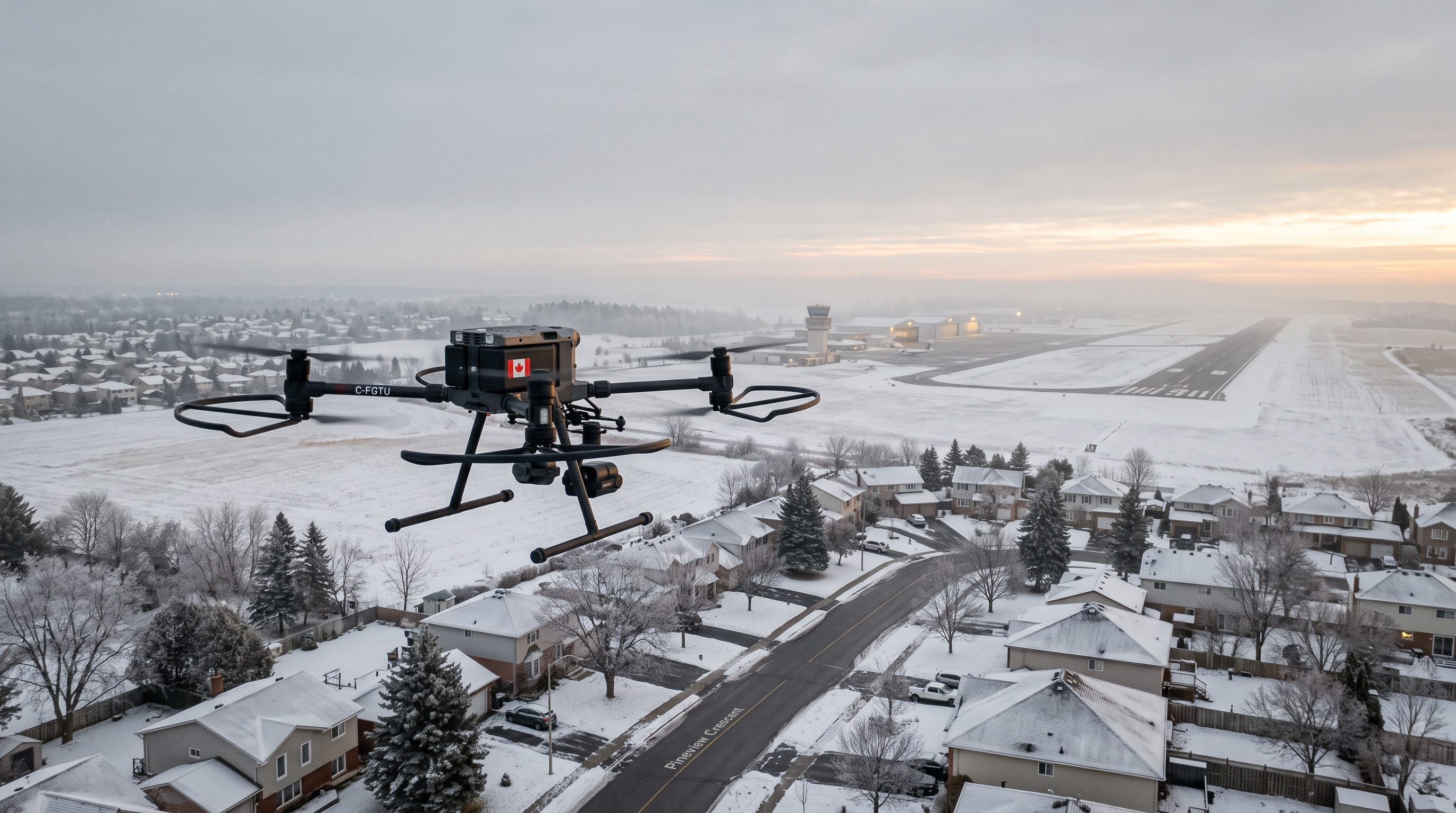
A no fly zone is rarely a solid wall. It is usually a layer of airspace with conditions attached. The common ones to watch are controlled airspace around airports and cities, the areas close to airports and heliports, national parks where drones are broadly prohibited without a permit, military ranges, and temporary restrictions over wildfires, emergencies, and advertised outdoor events. You also cannot fly higher than 122 metres, roughly 400 feet, above the ground unless a special authorization says otherwise. A good rule of thumb is simple. If you can see a runway, a helipad, or a hospital, assume there is airspace you need to check before you launch.
How to check drone no fly zones with the NAV Drone app
Transport Canada writes the rules, but NAV CANADA runs the airspace. Their free NAV Drone app is the tool most Canadian pilots use to read the map, and you can find it through NAV CANADA. Drop a pin on your planned site and the app shades the airspace, shows the floor and ceiling of any controlled zone, and tells you whether you can fly, need authorization, or should stay grounded.
Here is where drone no fly zones Canada how to check becomes concrete. If NAV Drone shows your site in controlled airspace and you hold an Advanced certificate, you can request an RPAS Flight Authorization right inside the app. Some requests clear automatically in seconds. Others go to a human reviewer and can take days, so never leave the check to the morning of the job. The app also surfaces active advisories, which is how you catch a temporary flight restriction that was not there last week. Treat the app as your source of truth, not the drone’s screen.
A pre-flight routine for drone no fly zones Canada how to check
Consistency beats memory. This is the routine I run, and it answers drone no fly zones Canada how to check the same way every time.
- Confirm your certificate level against the airspace. Basic stays uncontrolled and clear of airports. Advanced can go further with authorization.
- Open NAV Drone and pin the exact launch and landing points, not just the general area.
- Read the airspace layer for its floor and ceiling. A zone with a 400 foot floor may still let you fly low legally.
- Request authorization if controlled airspace applies, and wait for it in writing.
- Check advisories for wildfires, events, and temporary restrictions on the actual day you fly.
- Screenshot the result so you have proof of the check if anyone asks.
That last step is underrated. If an officer or a client questions your flight, a timestamped screenshot showing you did the drone no fly zones Canada how to check work is the difference between a short conversation and a long one.
What the November 4, 2023 rules mean for no fly zones
Transport Canada amended parts of the RPAS framework on November 4, 2023, and the rules keep moving toward things like routine operations beyond visual line of sight and updated microdrone thresholds. As of the latest Transport Canada guidelines, the core airspace logic has not changed. You still register, hold the right certificate, and get authorization for controlled airspace. Because these details do shift, treat any printout as a snapshot and confirm current requirements at tc.canada.ca before you rely on them. When a rule is genuinely new, verifying beats assuming.
Common mistakes when you check no fly zones
The first mistake is checking once and never again. Airspace is dynamic, and a site that was clear last month can pick up a temporary restriction overnight. The second is trusting a random consumer map instead of the official source, which is the real reason drone no fly zones Canada how to check trips people up. Third-party maps lag and miss advisories. The third is confusing the drone’s built-in geofencing with legal clearance. Manufacturer geofencing, including DJI’s, is a safety courtesy, not Canadian law, and it can be out of date. You can sit perfectly inside a manufacturer’s software and still break the rules.
The fourth mistake is assuming rural means unrestricted. Plenty of small aerodromes, floatplane bases, and hospital heliports sit in quiet areas, and each one creates airspace you have to respect.
When the check gets complicated, get help
Most flights clear in a few minutes. Some do not. Complex sites near major airports, repeated operations in controlled airspace, or specialized work such as beyond visual line of sight can turn a simple lookup into a real planning exercise. That is when a second set of experienced eyes pays for itself, and it is a big reason teams bring in support rather than guess when drone no fly zones Canada how to check turns into a real planning problem. If you reach that point, you can book a free consultation and have someone who runs these checks daily confirm your plan.
The bottom line
Sorting out drone no fly zones Canada how to check is not complicated once you build the habit. Start at Transport Canada for the rules, use NAV Drone for the live map, match your certificate to the airspace, request authorization when you need it, and screenshot your result. Run that same short routine every single time and you will fly legally, keep your equipment out of trouble, and never end up as the pilot explaining to an inspector why you skipped the drone no fly zones Canada how to check step. The five minutes it takes is the cheapest insurance in aviation.
Ready to Take the Next Step?
Whether you need drone pilot certification, a custom engineered solution, help navigating Transport Canada permits, or a professional drone service for your next project, Mostavio-SkyTech is your trusted partner in Canada. Contact us today for a free consultation and let’s build something great together.