If you need accurate, current site maps without weeks of field work, the best provider will be the one that delivers centimetre-grade results, fast, and safely. The right orthomosaic partner should prove accuracy with checkpoints, operate to Transport Canada standards, and integrate cleanly with your GIS/CAD workflow. In short: choose an orthomosaic mapping team that shows you how they control accuracy, manage risk, and guarantee delivery timelines. If you are comparing options for an orthomosaic mapping drone service canada, this guide explains what to look for, what to ask, and how Mostavio‑SkyTech can de‑risk your project. Throughout, we’ll use plain language so you can confidently select the best orthomosaic mapping drone service canada for your site and budget.
Orthomosaic mapping 101: What you actually get
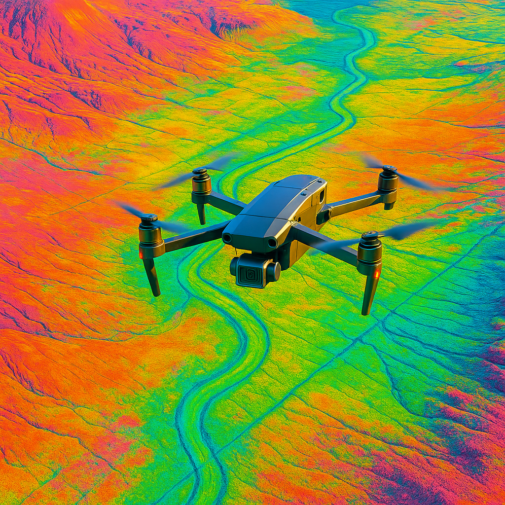
An orthomosaic is a georeferenced, distortion-free 2D map created from many overlapping photos. Photogrammetry software corrects lens, perspective, and terrain effects so measurements are true to scale. Good providers deliver:
- Orthophoto/orthomosaic: GeoTIFF (and web tiles) with stated ground sampling distance (GSD), projection, and accuracy report.
- Digital Surface Model (DSM) and Digital Terrain Model (DTM): For elevations, contours, and volumes.
- Contours and breaklines: CAD-ready layers for design and reporting.
- QA/QC documentation: Checkpoint residuals, RMSE, and metadata.
Modern photogrammetry engines such as Pix4D and survey workflows from firms like Trimble Geospatial underpin professional results. You should expect a clear statement of horizontal and vertical accuracy, not just “high resolution.”
Fast answer: The five criteria that separate top providers
- Proven accuracy: RTK/PPK GNSS, solid ground control plan, and independent checkpoints with documented RMSE.
- Operational discipline: Transport Canada compliance, flight approvals, safety management, and insurance.
- Right sensor for the job: 45 MP full-frame mapping cameras for sub-3 cm projects; multispectral or thermal when needed.
- Data pipeline and QC: Repeatable processing, version control, and human QA before delivery.
- Capacity and SLAs: Multiple aircraft, redundancy, and guaranteed turnaround times.
SkyTech delivers all of the above as part of our enterprise-grade commercial drone services across Canada.
Accuracy standards you can trust
Understand GSD, RTK, GCPs, and RMSE
GSD (cm/pixel): Typical construction or earthworks maps use 1–3 cm/pixel. Lower GSD (smaller number) means finer detail but more flight time and larger datasets.
RTK/PPK GNSS: Real-time or post-processed kinematic positioning ties every photo to centimetre-grade coordinates. Expect 2–3 cm horizontal and 3–5 cm vertical accuracy with good conditions and control.
GCPs and checkpoints: Smart providers balance RTK with well-surveyed GCPs and independent checkpoints. Always request a checkpoint report with residuals and project RMSE.
What to ask: “What accuracy do you guarantee at 95% confidence, and can I see a real job’s RMSE report?” If you are sourcing an orthomosaic mapping drone service canada, the best vendors will share anonymized examples on request.
Right aircraft and payloads
- High-accuracy mapping: Heavy-lift platforms with full-frame cameras (e.g., 45 MP) and mechanical shutters for consistent, sharp imagery.
- Mid-size, agile sites: RTK small UAS with 20 MP+ sensors for 2–5 cm work, ideal for frequent progress mapping.
- Specialty data: Multispectral for crop vigor, thermal for energy utilities, and LiDAR when vegetation or complex terrain demands it.
Ask for sensor make, shutter type, focal length, and whether the system supports RTK/PPK. These details matter for repeatability.
How to evaluate an orthomosaic mapping drone service canada
Use this short, practical checklist to compare providers:
- Scope clarity: Defined deliverables (GeoTIFF, DSM/DTM, contours), CRS (e.g., NAD83(CSRS) / UTM Zone), GSD target, and accuracy tolerance.
- Control plan: How many GCPs and where; what survey gear; and how checkpoints are recorded and reported.
- Airspace and approvals: Demonstrate knowledge of local restrictions and required NAV CANADA authorizations when applicable.
- Safety and insurance: Copy of liability coverage and safety procedures for people, property, and wildlife.
- Data security: Where data is processed and stored; chain of custody; options for on-prem or secure cloud transfer.
- Capacity: Number of crews and aircraft; back-up plans for weather; guaranteed mobilization timelines.
- Sample package: Request a small sample set: orthomosaic tile, DSM, and QA report from a similar site.
Any qualified orthomosaic mapping drone service canada should provide a written QA/QC workflow and a recent accuracy report. If they cannot, move on.
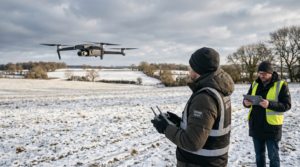
Compliance, safety, and site access in Canada
Professional operators follow Transport Canada rules, maintain pilot certifications, and log maintenance and flights. On live sites, they coordinate with your H&S lead, complete Job Safety Analyses, and manage crowd/traffic control when needed. For urban or controlled airspace, they plan ahead with NAV CANADA requests and site-specific procedures. This reduces your liability and keeps your schedule intact.
Data workflow: from flight plan to your desktop
Repeatable capture
Consistent altitude, sidelap/overlap (typically 70–80%), and proper shutter speeds prevent motion blur and parallax errors. Corridor missions may require custom patterns to maintain GSD around edges.
Processing and QC
- High-quality photogrammetry processing with robust tie point filtering.
- Geodetic checks against GCPs and checkpoints; outlier review.
- Human visual QC for artifacts, seamlines, and water/glass issues.
Delivery and integration
You should receive GeoTIFFs, tiled web maps, contours, and metadata ready for ArcGIS, Civil 3D, or QGIS. For teams focused on KPIs, SkyTech can pair deliverables with dashboards and analytics through our aerial data and analytics services.
Pricing models for an orthomosaic mapping drone service canada
There are three common pricing approaches:
- Per hectare or per linear kilometre: Straightforward for open sites and corridors. Watch minimums and mobilization fees.
- Per mission or per day: Best when scope changes on site or requires stakeholder direction.
- Program pricing/retainers: Most cost-effective for weekly or monthly progress mapping across multiple sites.
For typical construction progress in Ontario, expect budget ranges like: small sites (5–20 ha) at 1.5–3 cm GSD from $1,200–$2,800 per visit; large earthworks (50–150 ha) from $2,500–$6,000 depending on control requirements and deliverables. Ask any orthomosaic mapping drone service canada to itemize mobilization, control survey, processing, and rush fees. Transparent pricing prevents surprises and speeds approvals.
Turnaround times and SLAs
Weather and airspace drive schedules. A strong provider mitigates both with flexible crews and proactive planning. Typical SLAs we see:
- Mobilization: 24–72 hours after notice to proceed for most of Southern Ontario and major Canadian centres; longer for remote sites.
- Delivery: 24–72 hours for orthomosaics and DSMs up to ~150 ha; add 1–2 days for contours and volumetrics with detailed QC.
- Rush: Same-day flights and next-day delivery available with premium, weather permitting.
Your contract should include a weather plan, reschedule policy, and production cut-off times. Reliable orthomosaic mapping drone service canada vendors will also offer partial deliverables early (e.g., web map) while the final GeoTIFF processes.
Use cases: choosing an orthomosaic mapping drone service canada by industry
- Construction and engineering: Weekly orthomosaics and DSMs for progress, as-builts, and volume tracking. Expect 1–3 cm GSD and sub-5 cm vertical accuracy. If you operate across multiple sites, ask about standardized naming and drawing templates. Explore our drone services for construction for more detail.
- Mining and aggregates: Regular stockpile volumes and pit updates. Emphasis on safe stand-off distances and dust/sun angle management.
- Energy and utilities: Corridor mapping for right-of-way, access planning, and flood risk. RTK with well-spaced control is key along long linear assets.
- Municipal and public safety: Incident documentation, flood mapping, and asset inventories. Pay attention to privacy, data retention, and public communications.
- Agriculture: Orthomosaics paired with multispectral indices for crop scouting and variable-rate decisions.
A capable orthomosaic mapping drone service canada adapts flight patterns, control density, and processing options to each use case while keeping your deliverables consistent for easy comparison over time.
Environmental and seasonal considerations
- Snow and ice: Low texture can confuse matching; plan for lower sun angles and consider LiDAR if terrain accuracy is critical under snow.
- Water and glass: Expect voids or distortions; experienced teams plan extra overlap and manual edits.
- Vegetation: Leaf-off vs leaf-on changes surface models; align capture windows with your engineering needs.
- Wind: Fast shutters and proper forward overlap prevent motion blur in gusty conditions.
Discuss these factors early so the provider can tune the flight plan to your site and season.
What great QA/QC looks like
Insist on a brief, standardized accuracy pack with every delivery:
- Checkpoint table with residuals (easting, northing, elevation) and total RMSE.
- Flight and processing log (weather window, aircraft, camera, RTK base, software version).
- CRS/projection details and vertical datum used (e.g., CGVD2013).
- Known limitations or masked areas (e.g., reflective water, moving equipment).
This is how a serious orthomosaic mapping drone service canada proves the map can be measured and trusted by your surveyors and engineers.
Why Mostavio‑SkyTech
We are a Toronto-based enterprise operator serving clients across Canada with a focus on safety, accuracy, and speed. Our crews fly RTK/PPK-equipped platforms with survey-grade workflows, deploy redundant aircraft to keep schedules on track, and deliver clean, documented datasets. For owners and EPCs, this reduces rework and compresses reporting cycles. For contractors, it protects margins by turning site truth into fast, defensible decisions.
We can integrate with your GIS/engineering stack, stand up secure data portals, and deliver actionable insights through aerial data and analytics. If you are evaluating an orthomosaic mapping drone service canada, we will share sample projects, accuracy reports, and references so you can decide with confidence.
Have a timeline to meet? Tell us your site location, required GSD and accuracy, and we will confirm scope, flight plan, and SLA the same day. You can also book a free consultation to talk through options.
Practical questions to ask before you award
- What GSD will you fly, and what accuracy (95% confidence) will you guarantee?
- How many GCPs and checkpoints will you set, and what instrument will you use to survey them?
- What is your airspace plan and timeline for approvals?
- How do you handle data security and retention? Can you use my naming conventions and CRS?
- What is your weather reschedule policy? What redundancy do you bring?
- Can I see a recent QC report and a small sample GeoTIFF from a similar job?
Conclusion: Choosing the best partner for your site
The best orthomosaic partner is not just the cheapest or the fastest. It is the one that promises the right accuracy for your work, documents it with checkpoints, delivers on time even when the weather shifts, and integrates smoothly with your systems. If you keep your decision anchored on accuracy proof, operational discipline, and clear SLAs, you will pick the right orthomosaic mapping drone service canada for your needs. Mostavio‑SkyTech pairs proven survey workflows with enterprise-grade delivery and support so your team can trust every pixel, every time.
When you are ready to compare proposals for an orthomosaic mapping drone service canada, ask for accuracy reports, confirm deliverables, and demand a clear plan. We are happy to show you exactly how we will execute on your site and earn your trust across Canada.
Ready to Take the Next Step?
Whether you need drone pilot certification, a custom engineered
solution, help navigating Transport Canada permits, or a professional
drone service for your next project — Mostavio-SkyTech is your
trusted partner in Canada.
Contact us today for a free consultation
and let’s build something great together.