
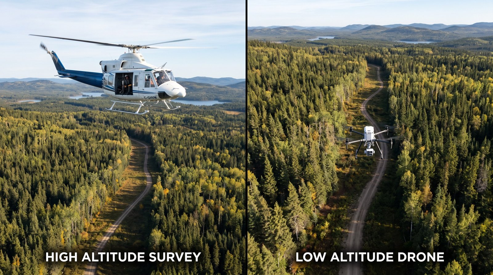
For most sites under about 10 square kilometres, a drone survey costs 60 to 85 percent less than a helicopter survey and delivers sharper data. For long remote corridors and very large areas, the helicopter is still the cheaper tool per kilometre. That is the honest version of the drone vs helicopter survey cost comparison […]
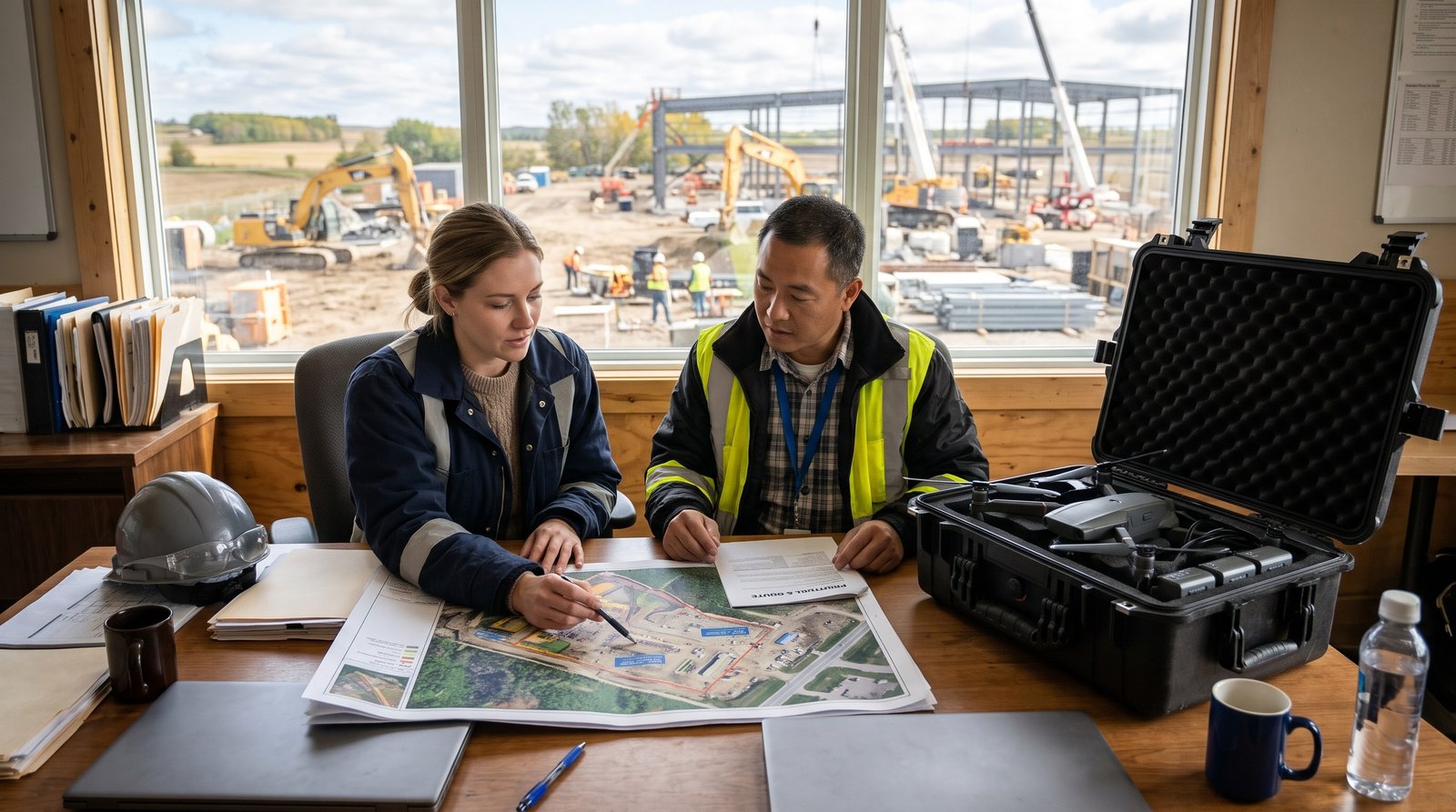
A drone survey in Canada typically costs $1,500 to $3,500 for a small site under 10 hectares, $3,500 to $8,000 for a mid-size site, and $8,000 to $25,000 or more for large sites or long corridors that need LiDAR. Most procurement managers who type “how much does drone survey cost canada” into Google are really […]
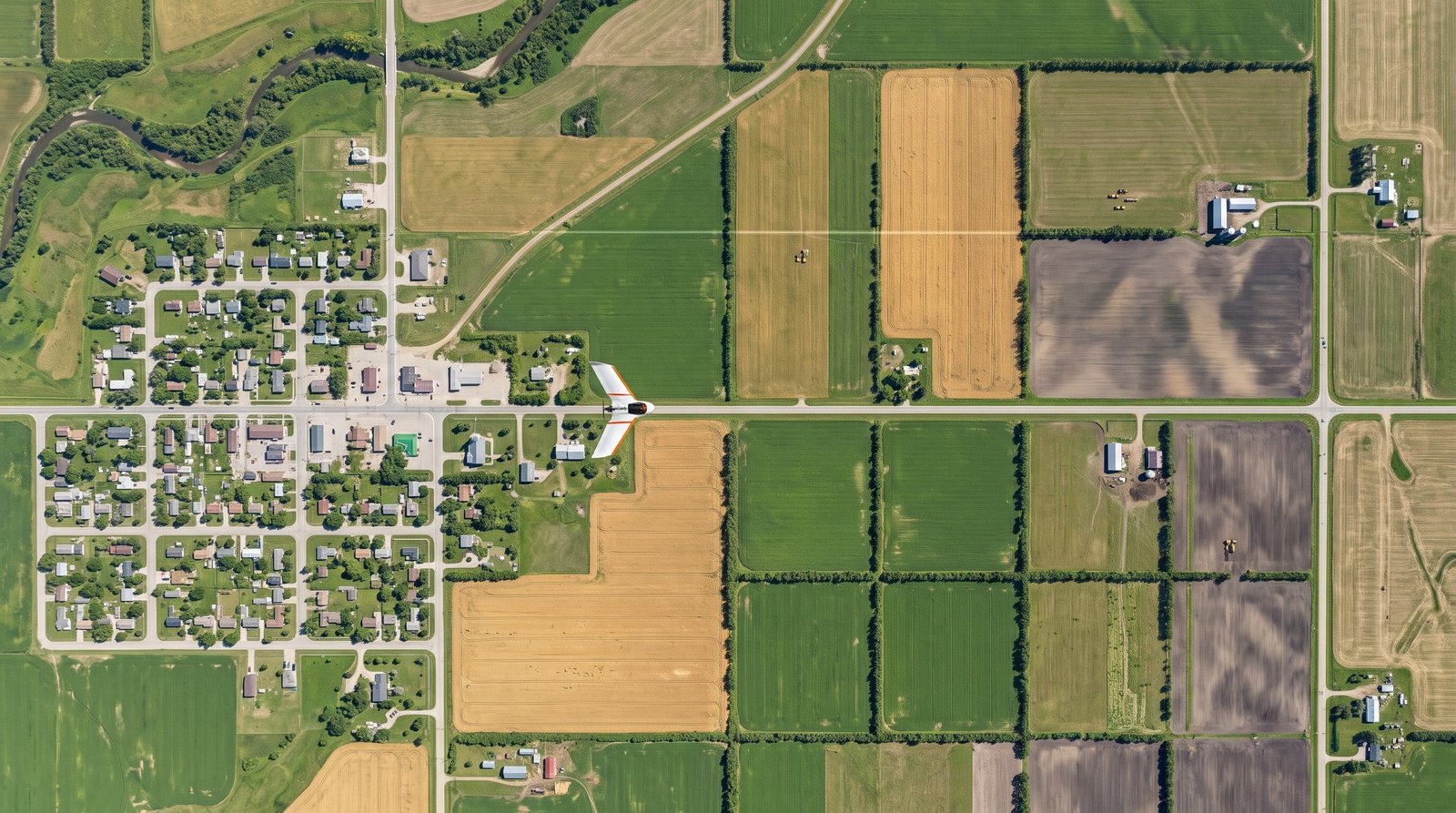
An orthomosaic mapping drone service Canada procurement teams can rely on delivers one core product: a single, georeferenced, measurable aerial image of your site, stitched from hundreds or thousands of overlapping photos, usually within 24 to 72 hours of the flight. With RTK positioning and a few surveyed checkpoints, horizontal accuracy of 2 to 3 […]
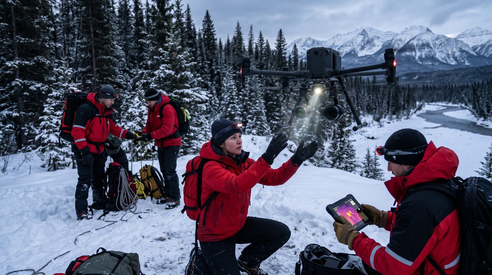
When you hire a provider for search and rescue drone operations Canada-wide, you are buying three things. A thermal camera in the air within minutes of the crew arriving. Systematic coverage of roughly one square kilometre per battery. Target coordinates sent to incident command the moment something warm shows on screen. A two-person crew with […]
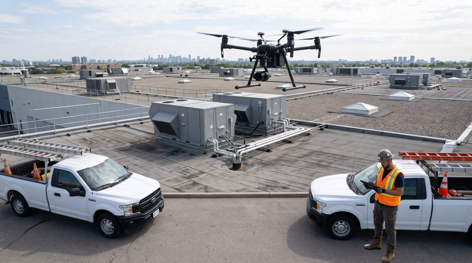
A roof inspection drone service toronto property managers can book this week will give you a complete, documented condition record of a commercial roof in a single site visit. No one walks the membrane. No boom lift sits in your loading dock. A 50,000 square foot low-slope roof takes 30 to 45 minutes of flight […]
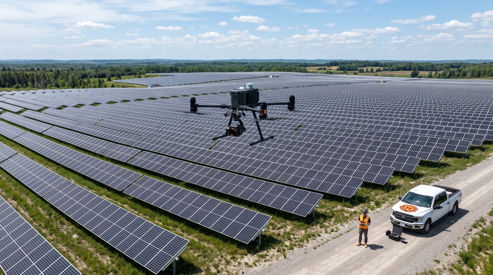
A solar panel inspection drone service Canada asset owners can rely on does one job well. It finds the modules, strings and combiners that are quietly losing you money, and it tells you exactly where they are. A drone crew flies the array with a radiometric thermal camera and a high resolution colour camera, processes […]
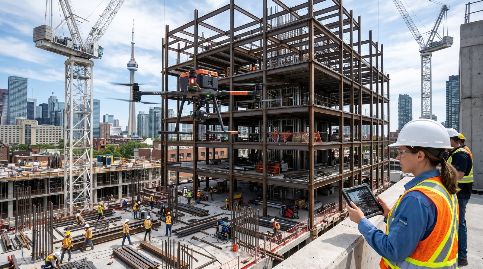
A drone inspection service Canada construction teams rely on should hand you measurable site data, not just pretty pictures. In practice that means an orthomosaic map, a 3D model, stockpile volumes and close range photos of every structure on site, delivered within 24 to 48 hours of the flight. Done properly, it replaces most survey […]
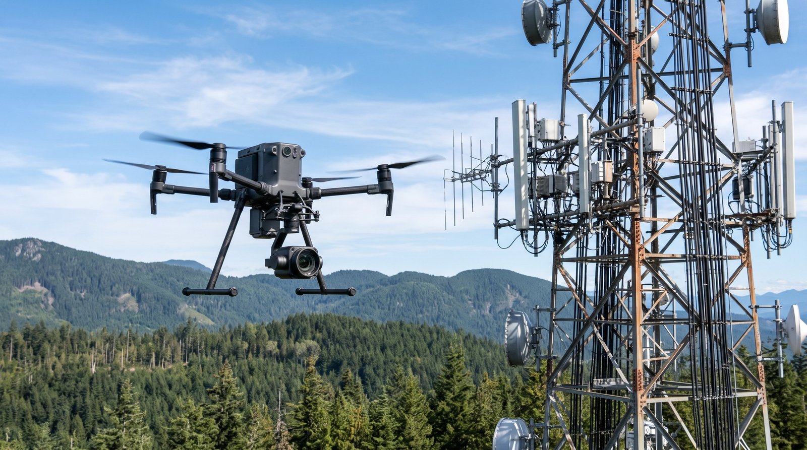
A high zoom aerial imaging service Canada operators hire for inspection work does one thing very well: it captures component level detail from a safe distance. A drone carrying a 34x optical zoom camera can read a serial plate, spot a cracked insulator shed or check a flare tip for corrosion from 100 metres away. […]
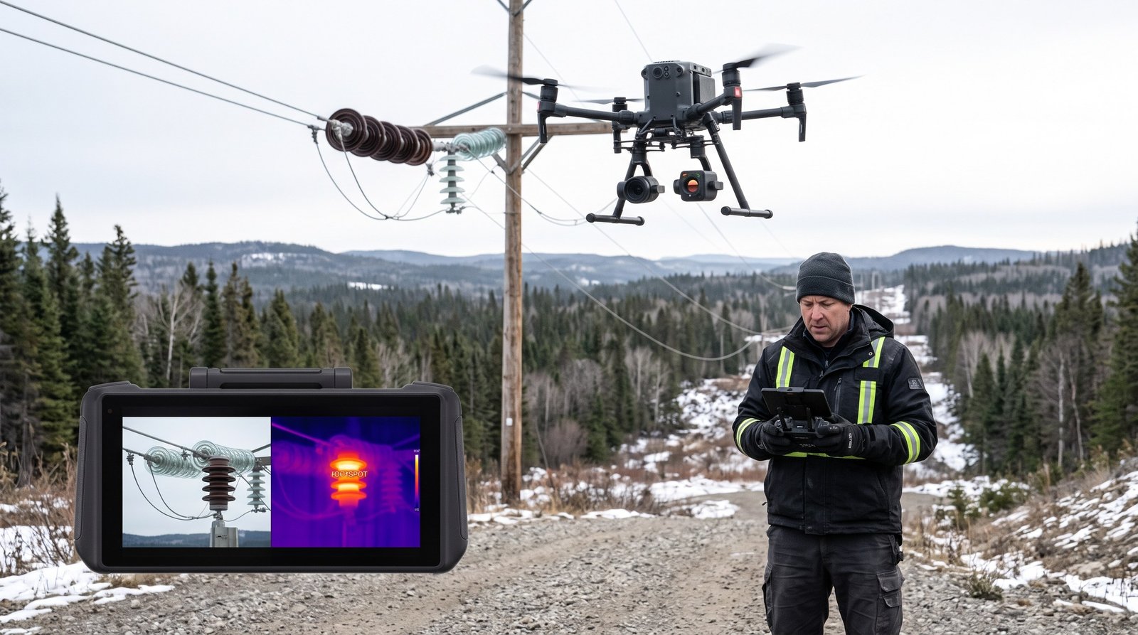
A thermal imaging drone service Canada procurement teams hire should hand you one thing above all: a defect list you can act on, delivered within days of the flight. The drone carries a radiometric infrared camera that records a temperature for every pixel. The provider flies your roof, solar array, substation or building envelope, then […]
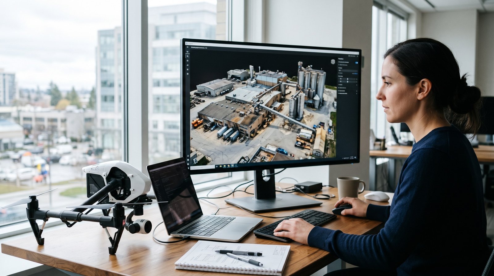
If you hire a provider for drone photogrammetry 3D mapping Canada wide, you are buying three things: a georeferenced orthomosaic, a dense 3D point cloud or mesh, and a surface model you can measure from. A competent crew captures a 50 hectare site in one field day and delivers processed data within two to five […]
- 1
- 2