Here is the short version. A flight planning app like Naviator helps you map a mission, but it does not make that mission legal. In Canada, the rules that decide whether you can fly come from Transport Canada, not from any app. Solid Naviator drone flight planning Canada work means using the software to plot waypoints, set altitude, and watch battery limits, then checking that plan against the Canadian Aviation Regulations before you spin the props.
I have flown enough jobs to know where pilots get burned. They trust the app to keep them out of trouble. The map looks green, the flight path over the field is clean, and they launch straight into controlled airspace with no authorization. This guide walks through how to use Naviator drone flight planning Canada the right way, so the mission on your tablet matches the law on the ground. Get that alignment right and the app becomes a real asset instead of a liability.
What Naviator Drone Flight Planning in Canada Actually Covers
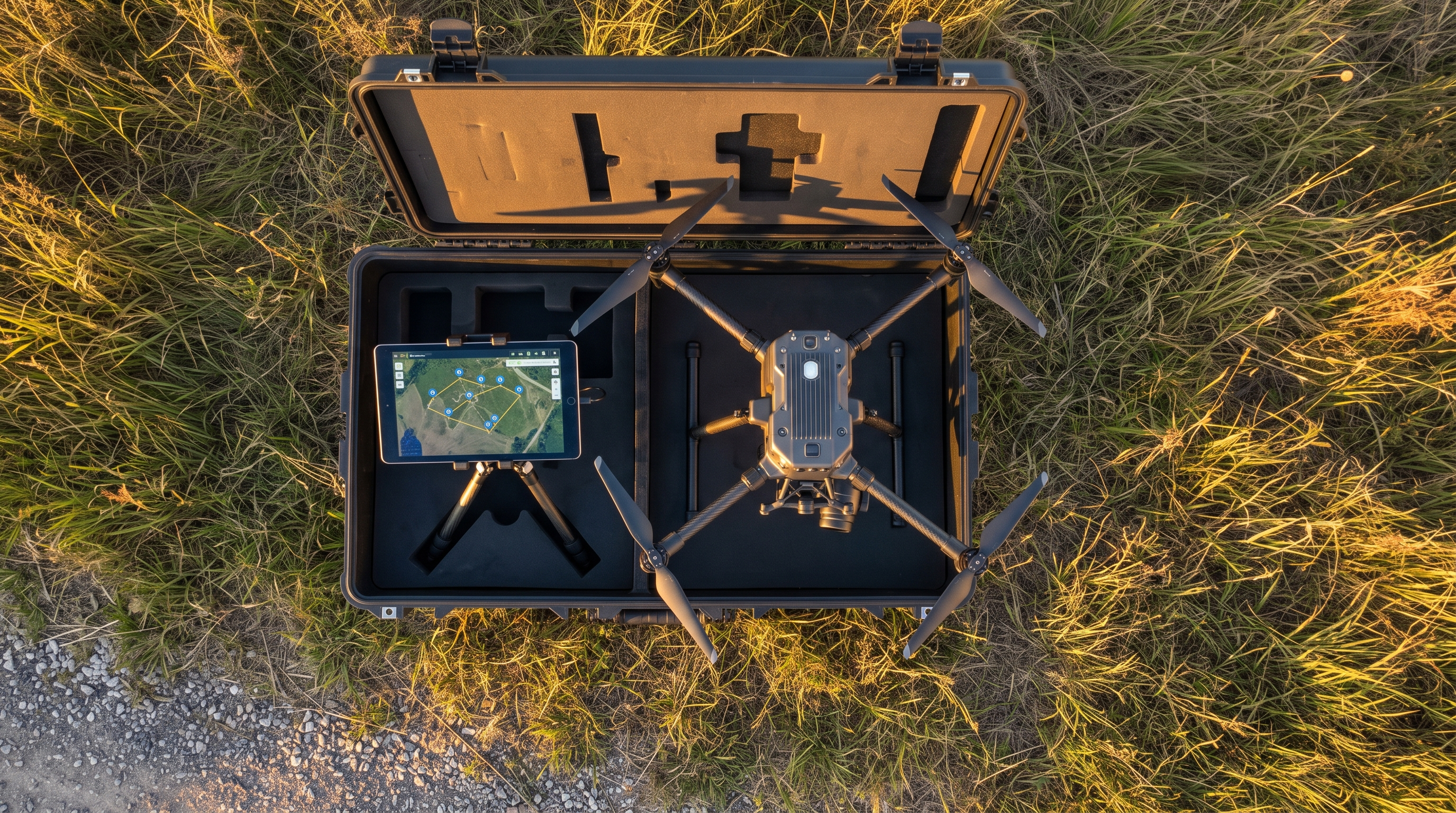
Naviator is a third party flight planning and control app that many pilots run on Android to fly DJI aircraft. Like most planning tools, it earns its keep before takeoff. You draw a flight area, drop waypoints, set your altitude, and let the software estimate how many batteries the mission needs. On a 40 acre solar farm inspection, I can pre plan a grid at 60 metres with heavy image overlap, and the app tells me it will need four batteries and roughly 35 minutes of air time. That is planning that used to happen on the tailgate.
Be honest about what the app does and does not do. It plans. It does not approve. A planning tool can show you a map with airspace shading, but that shading is a reference, not a permission slip. The core of Naviator drone flight planning Canada is understanding that split. The software handles the flight profile. You handle the compliance. Confuse the two and you can fly a technically perfect mission that is still illegal.
If you would rather hand the whole job to a certified crew, our commercial drone services team plans and flies these missions across Canada every week, with the paperwork handled from start to finish.
The Rules That Come Before Any Flight Plan
Before you open any app, three things set your legal footing in Canada: your drone, your certificate, and your category of operation. Settle these first, because Naviator drone flight planning Canada assumes the legal basics are already in place.
Most rules apply to drones between 250 grams and 25 kilograms. If your aircraft sits in that range, you must register it with Transport Canada, which costs five dollars per drone, and mark it with the registration number. You also need a pilot certificate, and there are two levels.
- Basic operations: uncontrolled airspace, at least 30 metres from bystanders, and away from airports. This needs a Basic certificate earned through an online exam with a 65 percent pass mark.
- Advanced operations: controlled airspace, near or over bystanders, or close to airports. This needs an Advanced certificate, which adds a tougher exam at 80 percent plus an in person flight review.
There is also a hard ceiling. In most cases you may not fly above 122 metres, which is 400 feet, above ground level. Transport Canada has updated this framework over time, including changes that took effect on November 4, 2023. As of the latest Transport Canada guidelines, the trend has been toward tighter requirements for higher risk flights. Rules move, so confirm the current text at tc.canada.ca before you lean on any summary, including this one.
If your work will regularly put you in controlled airspace or over people, get the higher ticket. Our advanced RPAS certification path prepares you for the flight review and the judgment calls that Advanced operations demand.
Naviator Drone Flight Planning and Canada’s Airspace
Airspace is where a plan either holds up or falls apart. Canada splits airspace into controlled and uncontrolled. Around most Canadian cities and airports, controlled airspace means Class C, D, or E. Uncontrolled airspace in Basic conditions is the simpler case. Controlled airspace is the one that catches people out during Naviator drone flight planning Canada sessions, because the app will happily draw a mission right inside it.
To fly in controlled airspace, you need authorization. The official tool for that is NAV Drone, run by NAV CANADA. You request a block of controlled airspace, and the system either grants it automatically up to set limits or sends it for review. You can reach it through navcanada.ca. A third party planning app is not a substitute for this step. Even when Naviator shows the airspace, the authorization still has to come through the official channel.
Here is the workflow I use. Plan the flight profile in the app. Then, separately, check the airspace class, pull the authorization in NAV Drone if the site needs one, and read the day’s NOTAMs. Only when those line up does the plan become a real mission. That order matters on every Naviator drone flight planning Canada job.
A Naviator Drone Flight Planning Canada Checklist
Turn all of this into a routine you run every time. This is the checklist I keep for Naviator drone flight planning Canada work, and it has kept me on the right side of the rules for years.
- Confirm the aircraft is registered and the number is on the airframe.
- Match the operation to your certificate, Basic or Advanced, so the flight fits your level.
- Check the airspace class for your site before you plan a single waypoint.
- Pull authorizations in NAV Drone for any controlled airspace.
- Read the weather and NOTAMs for the actual flight window, not yesterday.
- Plan the profile in the app: waypoints, altitude, and enough battery margin to land with reserve.
- Walk the site for obstacles, people, and clear takeoff and landing zones.
- Keep bystander distance that matches your operation category.
None of this takes long once it becomes habit. Ten minutes of checks saves you from a grounded job or a fine.
Where the App Stops and Compliance Starts
The biggest risk in any planning app is quiet trust. Airspace data can be out of date. A temporary flight restriction may not appear. The maximum altitude in the app is a setting, not a legal ceiling for your site. Treat Naviator drone flight planning Canada outputs as a strong draft, then verify the load bearing details against official sources.
This is also where operations get complex. Flights beyond visual line of sight, work near aerodromes, or jobs over crowds carry heavier requirements, and some still need a Special Flight Operations Certificate. If your mission is edging into that territory, plan for the paperwork early. It takes time, and a polished flight plan does not shorten it.
The Bottom Line
Flight planning software is a real time saver, and I would not run mapping jobs without it. Just keep the roles clear. The app builds the flight. Transport Canada decides whether you may fly it. Strong Naviator drone flight planning Canada practice is two habits stacked together: plan carefully in the software, and comply fully through the official system of registration, certificates, and airspace authorization.
If you want a second set of eyes on your operation, or help getting your crew certified and your permits in order, book a free consultation with our team. We fly in Canadian airspace every week, and we are glad to help you plan a mission that is efficient and fully legal.
Ready to Take the Next Step?
Whether you need drone pilot certification, a custom engineered solution, help navigating Transport Canada permits, or a professional drone service for your next project, Mostavio-SkyTech is your trusted partner in Canada.
Contact us today for a free consultation and let’s build something great together.