An orthomosaic mapping drone service Canada procurement teams can rely on delivers one core product: a single, georeferenced, measurable aerial image of your site, stitched from hundreds or thousands of overlapping photos, usually within 24 to 72 hours of the flight. With RTK positioning and a few surveyed checkpoints, horizontal accuracy of 2 to 3 cm is routine. That one image replaces a ground topographic crew for most planning work, replaces manned aircraft for site photography, and gives you a dated record you can measure from months later. This guide explains what you receive, how accurate it is, what it costs, and what to ask before you sign.
Mostavio-SkyTech flies and processes orthomosaics as part of our commercial drone services across Ontario and the rest of Canada. The orthomosaic mapping drone service Canada market has matured quickly, and buyer expectations should rise with it. The notes below come from field work, not a brochure. Where a drone is the wrong tool, we say so.
What an Orthomosaic Mapping Drone Service Actually Delivers
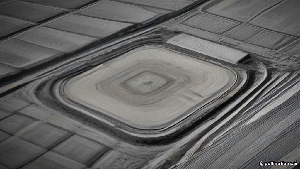
An orthomosaic is not a pretty aerial photo. Every pixel has been corrected for lens distortion, camera tilt, and terrain relief, then tied to real-world coordinates. You can measure distances and areas on it the same way you would on a survey drawing. A good orthomosaic mapping drone service Canada wide should hand you more than the image, though. The standard deliverable package looks like this:
- Orthomosaic (GeoTIFF): the base map, typically at 1 to 3 cm per pixel. File sizes run from a few hundred megabytes to 20 GB on large sites, so ask for a tiled web version too.
- Digital surface model and digital terrain model: elevation rasters used for drainage, cut and fill, and grading checks.
- Point cloud (LAS or LAZ): millions of 3D points for use in Civil 3D, Revit, or Trimble Business Center.
- Contours (DWG or DXF): at 0.25 m, 0.5 m, or 1 m intervals, ready for your design team.
- Volume and area report: stockpile tonnage, pond capacity, or area disturbed, with the method stated.
- Accuracy report: the checkpoint residuals that prove the numbers above.
Everything should arrive in the coordinate system your engineers already use. In Ontario that is usually NAD83 (CSRS) with the local UTM or MTM zone and CGVD2013 for elevations. If a provider cannot tell you which datum they deliver in, keep shopping. Our aerial data and analytics team confirms the system with your surveyor before the first flight so nothing has to be reprojected later.
Accuracy You Can Write Into a Contract
Accuracy is where most mapping quotes get vague. Pin it down. There are two numbers that matter, and they are not the same thing.
Ground sample distance (GSD) is the size of one pixel on the ground. A DJI Matrice 4E or Mavic 3 Enterprise flying at 100 m above ground produces roughly 3 cm per pixel. Fly at 60 m and you get under 2 cm. Smaller GSD means more detail, more photos, and longer processing. It does not by itself mean better positioning.
Absolute accuracy is how close a point on the map sits to its true coordinate on Earth. This depends on the positioning method:
- No RTK and no ground control: expect 1 to 5 m of error. Fine for a visual record, useless for engineering.
- RTK or PPK drone with 3 to 5 surveyed checkpoints: 2 to 3 cm horizontal, 3 to 5 cm vertical. This is the standard for construction and earthworks.
- RTK plus a full ground control network: 1 to 2 cm horizontal, under 3 cm vertical. Needed for as-built verification and quantity disputes.
Ask any orthomosaic mapping drone service Canada provider for a checkpoint report from a past project. It should list each checkpoint, its surveyed coordinate, the coordinate from the model, and the residual. If they cannot produce one, their accuracy claim is a guess. Processing software such as Pix4D, DJI Terra, and Agisoft Metashape generates this report automatically, so there is no excuse for leaving it out.
One honest caveat. Photogrammetry maps the surface the camera can see. Under tree canopy it returns the top of the trees, not the ground. For wooded sites or vegetated slopes you need LiDAR, which is a different payload, a different price, and a different conversation.
What Drone Mapping Replaces, and What It Saves
The business case is simple once you compare like with like.
- Ground topographic survey: a two-person crew covers a 20 hectare site in 2 to 4 days and collects a few thousand points. A drone covers the same site in about an hour of flight time and returns tens of millions of points. The surveyor still sets control and checks the result, but their field time drops by 70 to 80 percent.
- Manned aircraft orthophoto: a chartered flight starts around $5,000 before processing, delivers 5 to 15 cm GSD, and needs a scheduling window of weeks. A drone mobilizes in days, at a fraction of the cost, with finer detail.
- Satellite imagery: 30 to 50 cm GSD at best, cloud dependent, and never current enough for a site that changes weekly.
- Stockpile measurement by truck count or walking GPS: error of 10 percent or more is common. Drone volumes land within 1 to 3 percent of the true figure, and the method is repeatable month over month.
A typical Ontario quarry that moves from quarterly ground surveys to monthly drone flights sees inventory accuracy improve, fewer year-end adjustments, and a lower annual mapping spend. The same pattern holds on landfills, aggregate yards, subdivisions, and solar farms.
How to Vet an Orthomosaic Mapping Drone Service Canada Wide
Low price is easy to find. Repeatable data is not. When you compare orthomosaic mapping drone service Canada quotes, check these items in writing before you award the work.
- Transport Canada compliance. Every pilot needs a drone pilot certificate under Part IX of the Canadian Aviation Regulations. Flights in controlled airspace, which covers most of the Greater Toronto Area, require the Advanced certificate and a NAV CANADA authorization. Anything outside the standard rules needs a Special Flight Operations Certificate. The rules are published on Transport Canada’s drone safety pages, and a serious provider will know them better than you do.
- Insurance. Ask for a certificate showing aviation liability coverage, usually $2 million to $5 million. General commercial liability policies often exclude aircraft.
- Positioning method. RTK or PPK on the aircraft, plus how many checkpoints they will set and who surveys them.
- Equipment. A mechanical shutter or global shutter camera. Rolling shutter cameras smear at mapping speeds and degrade accuracy.
- Sample deliverables. Open their GeoTIFF and point cloud in your own software before you commit. Check that the datum and units are correct.
- Data ownership and retention. You should own the raw images and the outputs. Confirm how long they keep a copy and where it is stored.
- Weather and turnaround terms. Who pays for a wind cancellation, and how many business days from flight to delivery.
A provider who answers all seven questions without hesitation has done this before. A provider who answers with a drone model and a price has not.
Where Drone Orthomosaics Fall Short
We would rather lose a job than oversell one. Here is where a drone orthomosaic is the wrong tool or needs a partner.
- Legal boundary surveys. Only a licensed land surveyor can certify property boundaries. Drone data supports their work but never replaces their signature.
- Dense vegetation. As noted, photogrammetry cannot see the ground through canopy. Budget for LiDAR or a ground crew on wooded parcels.
- Water, glass, and uniform surfaces. Ponds, wet asphalt, and large metal roofs give the software nothing to match. Expect gaps or noise in those areas.
- Canadian winter. Snow cover hides the terrain you are trying to map. Battery flight time drops 20 to 30 percent below minus 10 degrees. Low sun angles throw long shadows. Work can still happen, but plan around it.
- Very large or linear sites. A 50 km pipeline corridor or a 2,000 hectare property needs beyond visual line of sight operations or multiple launch points, which changes the permit path and the schedule.
Turnaround, Pricing, and Scope
Most orthomosaic mapping drone service Canada pricing falls into one of three shapes. Small single-visit sites under 20 hectares usually run $1,500 to $4,000 including processing and the standard deliverables. Larger sites are quoted per hectare, with the rate dropping as the area grows. Recurring monthly progress monitoring is sold as a package, which is where most construction and aggregate clients end up because the unit cost is lowest and the data is comparable flight to flight.
Turnaround depends on area and GSD. A 10 hectare site flown in the morning can be delivered the next business day. A 200 hectare site at 2 cm GSD may need 3 to 5 days of processing. If a deadline is firm, say so at quoting time. Processing can be prioritized, and the flight can be scheduled around the forecast.
On scope, the mistake we see most often is buying a one-time map for a site that changes. A single orthomosaic answers today’s question. A series of them, flown on the same control and in the same coordinate system, answers the questions you have not thought of yet: how much material moved, where the water is going, and whether the contractor’s progress claim matches the ground.
Choosing the Right Orthomosaic Mapping Drone Service
The right orthomosaic mapping drone service Canada partner gives you a written accuracy standard, proves it with a checkpoint report, delivers in your coordinate system, and carries the Transport Canada paperwork and insurance to fly anywhere you need. Price matters, but a cheap map you cannot trust costs more than an accurate one the first time a quantity dispute lands on your desk.
Mostavio-SkyTech’s orthomosaic mapping drone service Canada coverage runs from Toronto across Ontario and into other provinces on request, with RTK aircraft, surveyed checkpoints, and deliverables in the format your engineers already use. If you have a site in mind, book a free consultation and send us the boundary. We will come back with a flight plan, an accuracy statement, and a fixed price, usually within a few business days.
Ready to Take the Next Step?
Whether you need drone pilot certification, a custom engineered solution, help navigating Transport Canada permits, or a professional drone service for your next project, Mostavio-SkyTech is your trusted partner in Canada.
Contact us today for a free consultation and let’s build something great together.