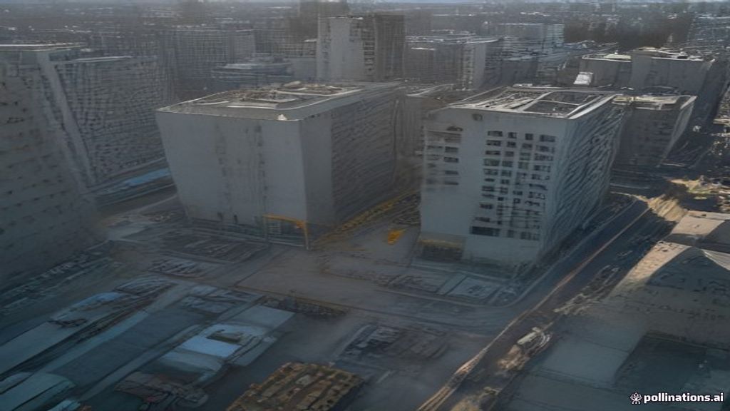
A drone inspection service Canada construction teams rely on should hand you measurable site data, not just pretty pictures. In practice that means an orthomosaic map, a 3D model, stockpile volumes and close range photos of every structure on site, delivered within 24 to 48 hours of the flight. Done properly, it replaces most survey crew walks and boom lift inspections for progress tracking and condition checks. Accuracy lands in the 1 to 5 cm range when the provider flies RTK equipment and uses ground control. That is the short answer. The rest of this guide covers what to ask for, what it costs and how to tell a qualified provider from a hobbyist with a nice camera.
This is written for the procurement manager or operations lead who has to sign the purchase order. You do not need to understand photogrammetry to buy it well. You need to know which deliverables to specify, which credentials to verify and what a reasonable turnaround looks like.
What a Drone Inspection Service Canada Construction Teams Use Should Deliver
Start with the output, then work backwards to the flight. A credible drone inspection service Canada construction managers hire will offer most of the deliverables below, and will tell you plainly which ones your project actually needs.
- Orthomosaic map. A geo-referenced top down image of the whole site, usually at 1 to 3 cm per pixel. This is the weekly progress snapshot that overlays on your design drawings.
- Digital surface and terrain models. Elevation data for cut and fill, drainage checks and grading verification.
- Point cloud and 3D mesh. Exported as LAS or LAZ for survey software, or OBJ for visual review. Useful for as-built comparison against the BIM model.
- Stockpile and earthwork volumes. Calculated from the surface model, typically within 1 to 3 percent of a conventional survey when the flight is done right.
- Structural and envelope photos. Close range images of facades, roofs, crane components, formwork and curtain wall. Expect 45 MP full frame images if the provider flies a Zenmuse P1.
- Thermal imagery. Radiometric images for roof moisture, envelope heat loss and electrical hot spots, usually from a Matrice 4T or a Zenmuse H30T.
- A written report. Annotated findings, measurements and a defect log you can forward to the trade without explanation.
Ask for file formats up front. GeoTIFF for maps, LAS or LAZ for point clouds, DXF for linework and PDF for the report are the standard set. If your team works in Procore, Autodesk Construction Cloud or Pix4D, say so. A good provider will export directly into those platforms rather than emailing you a folder of JPEGs. Our commercial drone services team builds the deliverable list with you before the first flight, so nobody pays for data that never gets opened.
Drone Inspection Versus Manual Inspection on a Construction Site
The business case is time and risk, not novelty. Here is what a drone inspection service Canada construction crews use actually replaces on a typical mid-rise or infrastructure job.
- Facade and roof inspection. A boom lift rental, a two person crew and a half day of blocked laneway become a 90 minute flight. Nobody leaves the ground.
- Stockpile measurement. A survey crew walking piles with a GPS rover takes several hours and produces a few dozen points per pile. A drone captures millions of points in a 20 minute flight and the volumes come back the next morning.
- Progress documentation. Weekly site walks with a phone camera become a consistent, geo-referenced record that holds up in a claim or a dispute.
- Linear and large area work. For corridors, rail, pipelines or sites above 50 hectares, a drone replaces crewed helicopter time at a fraction of the hourly cost and with far better image resolution.
Be honest about the limits too. A drone cannot see inside a wall, under a slab or behind cladding. It cannot replace a tap test or a core sample. Sustained wind above about 12 m/s grounds most enterprise aircraft, and heavy rain or snow does the same. In January in Ontario, battery capacity drops and the pilot swaps packs more often, which stretches the flight window. A provider who tells you this before you book is a provider worth keeping.
Accuracy and Turnaround You Can Hold a Provider To
Put numbers in the scope of work. Vague promises of high accuracy are how projects end up with maps that do not line up with the survey control.
For mapping, specify the ground sample distance. One to two centimetres per pixel is standard for progress tracking. For measurement you want absolute accuracy, which comes from RTK positioning on the aircraft plus ground control points tied to your surveyor’s benchmarks. With a Matrice 350 RTK and a Zenmuse P1, a competent operator will deliver roughly 3 cm horizontal and 5 cm vertical accuracy without ground control, and 1 to 2 cm with it. Ask for check shot reports that prove it, not a spec sheet.
For structural photos, specify the standoff distance and the minimum resolution per image. For thermal, specify radiometric files rather than coloured JPEGs, so the temperatures can be read later.
Turnaround is the other number worth writing down. A drone inspection service Canada construction schedules depend on should return raw photos the same day, an orthomosaic within 24 hours and a full processed model within 48 to 72 hours for a site under 40 hectares. Anything longer on a routine site usually means the provider is outsourcing processing or running it on an underpowered laptop.
How to Vet a Drone Inspection Service Canada Construction Buyers Can Trust
Commercial drone work in Canada is regulated by Transport Canada under Part IX of the Canadian Aviation Regulations. The rules changed on November 4, 2025, adding a Level 1 Complex Operations certificate for beyond visual line of sight work and for medium drones between 25 and 150 kg. The core requirements for a construction site did not change much. Verify these before you sign.
- Pilot certificate. Flying near workers or in controlled airspace requires an Advanced Operations certificate, not the Basic one. Ask for the certificate number and the issue date. Pilots also have to meet a recurrency requirement every 24 months.
- Drone registration. Every aircraft between 250 g and 25 kg must be registered with Transport Canada and marked with its registration number. Ask for the number of the specific aircraft they plan to fly.
- Airspace authorization. Large parts of the Greater Toronto Area, Vancouver, Calgary and Montreal sit in controlled airspace. The provider needs a NAV CANADA RPAS Flight Authorization for the exact location before the flight. Ask to see the approval, not a promise to get one.
- Special Flight Operations Certificate. Needed for operations outside the standard rules, such as flying above 122 m, over an advertised event or anything else the regulations do not already permit. Most site work does not need one, but your provider should know exactly when it does.
- Insurance. Transport Canada does not mandate liability insurance for every operation, but most general contractors require 2 to 5 million dollars of aviation liability. Ask for a certificate of insurance that names your company.
- Site safety integration. The pilot should attend your orientation, follow your crane coordination procedure and file a flight plan with the site superintendent. Drones and tower cranes do not mix without a plan.
- Data ownership and retention. Confirm in writing that the raw data and processed outputs belong to you, and find out how long the provider keeps a copy.
The full regulatory framework is published on the Transport Canada drone safety pages. A provider who cannot walk you through it in plain language is not ready for a commercial site.
What a Construction Drone Inspection Costs
Pricing in Canada depends on site size, the sensors required and how much processing goes into the deliverables. Treat the following as planning ranges, not quotes.
- One time progress map on a site under 20 hectares: roughly 1,500 to 3,500 dollars including processing.
- Facade, roof or crane inspection with high resolution and thermal capture: roughly 2,000 to 6,000 dollars depending on height and the number of structures.
- Recurring program with a flight every two weeks and a standing deliverable set: often 20 to 30 percent below one time pricing per visit, plus predictable scheduling.
- LiDAR survey with a Zenmuse L2 for vegetated or cluttered sites: usually starting around 4,000 dollars per visit, because the sensor and the processing cost more.
Compare that with the alternatives. A boom lift rental with an operator runs several hundred dollars a day before labour. A survey crew day is often 1,500 to 2,500 dollars. A single avoided change order dispute, backed by a dated orthomosaic, can cover a year of flights. That is why a drone inspection service Canada construction firms keep on retainer tends to pay for itself within the first quarter, provided the project team actually uses the deliverables.
Where Drone Inspection Fits in the Project Timeline
The highest value from a drone inspection service Canada construction managers book comes from consistency. Plan the program around project phases rather than calling for a flight after something has already gone wrong.
- Pre-construction. A baseline topographic map and existing conditions model. This protects you in neighbour disputes and sets the reference surface for every later earthwork volume.
- Earthworks. Weekly or bi-weekly volume flights to reconcile haul tickets and verify grading against design.
- Structure. Progress orthomosaics plus formwork and rebar photos before each pour. Crane and hoist inspections at defined intervals.
- Envelope. Close range facade and roof capture, followed by thermal scans once the building is conditioned, to catch moisture and air leakage before closeout.
- Closeout. An as-built model and a final documentation package for the owner and the warranty file.
Our drone services for construction page walks through each of these phases with sample deliverables. On the equipment side, we fly DJI enterprise aircraft, mostly the Matrice 4E, the Matrice 4T and the Matrice 350 RTK with the P1, L2 and H30T payloads. The DJI Enterprise line is reliable and the data pipeline is mature. The trade off is cost. A Matrice 350 RTK with the L2 LiDAR, the P1 camera, spare batteries and processing software runs well past 40,000 dollars, which is one reason a service contract usually beats buying your own aircraft unless you are flying several times a week.
The Practical Takeaway
Choosing a drone inspection service Canada construction teams can actually use comes down to a short list of checks. Specify the deliverables and the file formats. Write the accuracy and the turnaround into the scope. Verify the pilot certificate, the aircraft registration, the airspace authorization and the insurance before the first flight. Then book a recurring program rather than a one off, because the value is in the comparison between flights.
If you want help scoping a program for a specific site, book a free consultation with our team. We will tell you honestly what a drone inspection service Canada construction projects like yours should include, and whether a cheaper option covers what you need.
Ready to Take the Next Step?
Whether you need drone pilot certification, a custom engineered solution, help navigating Transport Canada permits, or a professional drone service for your next project, Mostavio-SkyTech is your trusted partner in Canada.
Contact us today for a free consultation and let’s build something great together.