If you are shopping for the best drone for lidar scanning Canada 2025 has to offer, the short answer is a DJI Matrice 350 RTK carrying the Zenmuse L2. We fly this pairing on real survey, forestry and powerline jobs across Ontario and beyond, and nothing else in the current DJI range comes close for point cloud accuracy, canopy penetration and turnaround time. This guide covers why that combination wins, where it falls short, what it costs, and how to match it to the work you actually do.
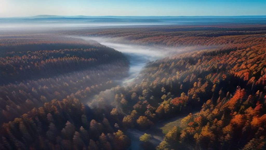
Lidar works differently from photogrammetry. A camera builds a 3D model from overlapping photos, so it has to see the ground. Lidar fires laser pulses that slip between leaves and branches, so it maps bare earth under a forest canopy where a camera sees only treetops. That single fact is why lidar sells, and why picking the best drone for lidar scanning Canada 2025 matters when your work involves vegetation, corridors or tight vertical tolerances.
What makes the best drone for lidar scanning Canada 2025
Three things separate a serious lidar platform from a gimmick: sensor accuracy, a stable airframe with real flight time, and a processing workflow you can trust. The best drone for lidar scanning Canada 2025 needs all three, not just a laser bolted to a frame.
The Zenmuse L2 is DJI’s current lidar payload, and its numbers are honest and repeatable. It reaches a detection range of 250 m at 10% reflectivity, records up to 240,000 points per second in single return, and up to 1,200,000 points per second across five returns. With proper ground control or PPK, it delivers roughly 4 cm vertical and 5 cm horizontal absolute accuracy. That is survey-grade for construction earthworks, forestry inventory, corridor mapping and stockpile volumes. The L2 also carries a 20 MP RGB camera, so your point cloud comes out in true colour, and it has an integrated high-accuracy IMU. DJI publishes the full spec sheet on its enterprise site, and in the field the results hold up.
The DJI Matrice 350 RTK and Zenmuse L2 pairing to beat
A payload is only as good as the aircraft under it. The Matrice 350 RTK gives the L2 a stable, weather-sealed home. It carries an IP55 rating, so light rain and site dust are not a problem. Onboard RTK ties every point to real coordinates. The transmission holds a solid link well past close range on open corridors. Maximum flight time is listed at 55 minutes with no payload, but plan for 30 to 37 minutes of useful mapping time once the L2 is mounted and you keep a safety reserve.
Cold is the honest catch in Canada. Lithium batteries lose capacity in winter, so a January flight in Sudbury runs shorter than a July flight in Toronto. The TB65 batteries self-heat, which helps, but budget fewer flights per charge in the cold and carry more battery sets than you think you need. This is normal for Canadian operators, and it should shape how many spares you buy on day one.
Accuracy, range and point density
Point density is a setting, not a fixed number. Fly lower and slower and you pack more points per square metre. Fly higher and faster to cover ground and density drops. For bare-earth models under forest we fly lower with multiple returns switched on. For open topographic survey we climb and speed up. The best drone for lidar scanning Canada 2025 is the one whose settings you understand, because the same L2 can produce a rich dataset or a thin one depending on the flight plan.
Accuracy also depends on correction. You can fly with a live RTK link from a D-RTK 2 base or an NTRIP network, or you can log raw data and post-process with PPK against a known base. In Canada, many crews post-process against provincial CORS stations or run PPP through Natural Resources Canada. Whichever path you pick, drop a few independent check points on the ground so you can prove your accuracy to a client, not just claim it.
Honest limits of the best drone for lidar scanning Canada 2025
No drone is perfect, and pretending otherwise costs you money later. The L2 is excellent, but it is not a Riegl or a YellowScan. If a contract demands sub-2 cm absolute accuracy with a formal survey report, you still need survey control and a check, and on the most demanding jobs a heavier dedicated sensor can edge it out. For the large majority of commercial work the gap does not matter, but be straight with your client about tolerances before you quote.
Two more real limits. First, you need DJI Terra to get the best out of the L2 point cloud, which is another software line item, though it exports clean LAS and LAZ files into Global Mapper, TerraSolid or Trimble Business Center. Second, lidar is not always the right tool. On open bare ground with no vegetation, a DJI Zenmuse P1 photogrammetry payload often gives a sharper orthomosaic for less money. Many of the crews we supply carry both and pick the sensor to fit the site. Being honest about that tradeoff is part of good commercial drone services, not a weakness.
What a lidar rig actually costs in Canada
Sticker shock is real, so here are honest ballpark numbers in Canadian dollars. A Matrice 350 RTK kit runs around $12,000 to $14,000. The Zenmuse L2 adds roughly $17,000 to $19,000. A D-RTK 2 base station, which you want for repeatable accuracy, is about $4,000. Add batteries, cases and DJI Terra and a working lidar rig lands near $35,000 and up. Prices move, so confirm current figures before you lock a budget.
That is a real investment, which is why it pays to buy the right configuration once. We help clients spec the exact kit for their jobs and buy it through the proper channel as an authorized dealer of DJI enterprise drone products, so warranty and Canadian service stay intact. Grey-market gear saves a little up front and costs you when a sensor needs repair.
Flying lidar under Canadian rules
A Matrice 350 RTK with the L2 weighs about 9.2 kg at takeoff, which keeps it inside Transport Canada’s small RPAS category. Most lidar work still points you toward an Advanced operations certificate, because you are often flying near people, in controlled airspace, or along corridors. If you plan corridor or beyond-visual-line-of-sight missions, check the current rules on the Transport Canada site, because the 2025 changes to lower-altitude BVLOS reshaped what is allowed. If your pilots are not certified yet, that is a fixable gap, not a reason to wait on the hardware.
Matching the best drone for lidar scanning Canada 2025 to your project
The best drone for lidar scanning Canada 2025 is not identical for every buyer, so match the kit to the work in front of you.
- Forestry and environmental: canopy penetration is the whole point, so the M350 and L2 with multiple returns is the clear pick.
- Powerline and pipeline corridors: long linear flights favour the M350’s endurance and link range, and you should plan for BVLOS approval.
- Construction and earthworks: the L2 gives fast, accurate volumes and bare-earth models between concrete pours.
- Mining and aggregates: quick, repeatable stockpile volumetrics that beat walking the pile with a GPS rover.
If you already run a Matrice 300 RTK, the L2 mounts on it too, so you can upgrade the sensor without replacing the aircraft. The newer Matrice 400 is starting to appear and promises longer flights and more payload capacity, but through 2025 the proven, widely supported choice is still the M350 and L2. Buy what you can service and fly today, not what might ship next year.
The bottom line
For this year, the best drone for lidar scanning Canada 2025 is the DJI Matrice 350 RTK paired with the Zenmuse L2. It delivers roughly 4 cm accuracy, penetrates canopy, produces true-colour point clouds, and it is supported and serviceable across Canada. It will not replace a top-tier survey sensor on the most demanding jobs, and it asks for DJI Terra and a cold-weather battery plan, but for most forestry, corridor, construction and mining work it is the smart buy. If you want help choosing between the L2 and a photogrammetry payload, or you are ready to spec a full rig, book a free consultation with our team and we will match you to the best drone for lidar scanning Canada 2025 for your exact use case.
Ready to Take the Next Step?
Whether you need drone pilot certification, a custom engineered solution, help navigating Transport Canada permits, or a professional drone service for your next project, Mostavio-SkyTech is your trusted partner in Canada.
Contact us today for a free consultation and let’s build something great together.