
Description
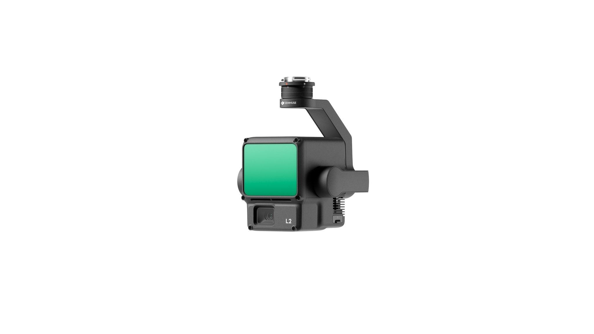
Zenmuse L2 LiDAR: Precision Redefined
Product Highlights
- Exceptional precision: Vertical accuracy 4 cm, horizontal 5 cm.
- High efficiency: Ready-to-fly, captures point clouds over 2.5 km² per flight.
- Outstanding depth penetration: Compact 4×12 cm spot size at 100 m for detailed models.
- Extended detection range: Up to 250 m (10% reflectivity) and 450 m (50% reflectivity).
- Five returns & live point cloud preview.
- Turnkey solution: One-click processing in DJI Terra, producing 3D point clouds and Digital Elevation Models (DEMs).
Enhanced Productivity
- Fuses GNSS + high-accuracy IMU for reliable data capture.
- Multiple viewing modes: RGB, point cloud, or side-by-side, enabling real-time monitoring.
Applications
Ideal for surveying, mapping, and detailed 3D modeling in construction, infrastructure, and environmental monitoring.
Includes: DJI Zenmuse L2 LiDAR compatible with M300, M350, M400.