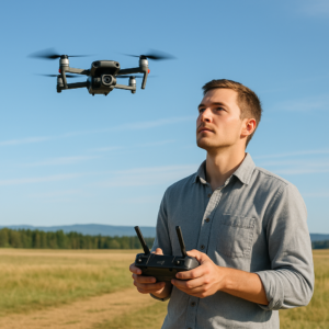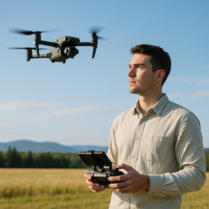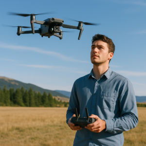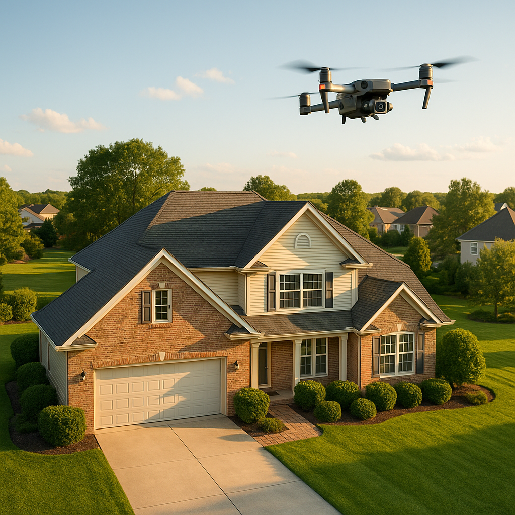
When a listing needs to stand out fast, nothing beats professional drone visuals captured by a certified team. In Canada’s competitive property market, real estate marketers, brokerages, and developers are turning to real estate aerial photography drone canada solutions to increase clicks, boost showings, and shorten time-on-market. At Mostavio-SkyTech, we deliver cinematic aerial photos, video, site overviews, and 3D visuals across Canada—safely, legally, and on deadlines that match MLS pressures.
Real estate aerial photography drone canada: why it moves the needle
Buyers begin online. Within seconds, the hero image and top-of-page gallery determine whether they scroll, book a showing, or bounce. Aerials show context—proximity to parks, water, transit, schools, and amenities—while also revealing lot lines, roof condition, landscaping, and neighbourhood scale. For new developments, aerials explain phasing and access clearly; for rural or waterfront listings, they reveal the lifestyle without a long write-up.
Operationally, drone shoots replace multiple ground trips. One sortie can cover exteriors, amenity highlights, and community establishing shots. We price per property, not per angle, and our typical turnaround is 24–48 hours from flight to delivery. As a national team of certified pilots with advanced procedures, we handle the details so your listing launches on time.
Need a fast quote or a same-week flight window? Explore our commercial drone services to see how we scale from single properties to multi-city portfolios.
What you get: deliverables that sell the story
We structure every package around the outcomes a listing needs on day one: a compelling gallery, a strong hero image, and short-form video that plays everywhere (MLS, IG Reels, TikTok, YouTube, paid social).
- HDR aerial photo set: 12–25 curated images (20–48 MP), composed for MLS cover, thumbnails, and carousel variety (front, rear, lifestyle, context).
- Aerial video master: 30–90 seconds in 4K/5.1K, 10-bit colour, graded for web and broadcast; optional vertical 9:16 cuts for social.
- Twilight and golden-hour capture: True twilight flights or simulated blue-hour grading for premium ambiance.
- Amenity and neighbourhood context: Nearby parks, shoreline, trails, schools, and transit—shot and labelled where requested.
- Site-overview map image: Orthomosaic still (top-down) with optional graphic outlining lot boundary for marketing (non-survey).
- 360° aerial panorama: Web-viewable sky tour that lets buyers explore the surroundings from above.
- On-request add-ons: Ground gimbal walkthroughs, FPV “reveal” shots for larger estates, voiceover, captions, logo slates, and agent bumper.
We calibrate each mission to the property type—condos, detached homes, acreages, commercial plazas, resorts, or urban infill—so your real estate aerial photography drone canada package aligns with the listing’s audience and price band.
What makes a real estate aerial photography drone canada package different
It’s not just about a camera in the sky. It’s about consistency, colour science, and data hygiene. Our enterprise platforms (e.g., 4/3” 20 MP sensors with mechanical shutters) keep verticals straight for architectural accuracy, while 10-bit profiles protect brand colours. Gimbal-locked flight paths ensure matching compositions between versions (MLS hero vs. social-first cut). And our editors maintain LUT libraries for brokerages so a national portfolio looks cohesive.
Compliance and safety for real estate aerial photography drone canada
Real estate listings often sit under controlled airspace, especially in dense metros like the GTA, Calgary, Vancouver, and Ottawa. We plan flights using NAV Drone, file the necessary authorizations, and coordinate responsibly with local stakeholders. All operations follow Transport Canada RPAS rules—pilot certification, aircraft registration, VLOS, flight crew briefing, and site risk assessments. For reference, see Transport Canada’s official RPAS guidance at tc.canada.ca.
Our pilots are trained for urban environments: managing roof turbulence, maintaining safe standoff distances, and respecting privacy. Where needed, we use smaller, quieter aircraft, flight cordons, or early-morning windows to minimize disruption. If a location requires additional approvals or a mitigated approach (near hospitals, heliports, or events), we handle it.
How we work: fast, predictable, and brand-safe
Getting from “we need aerials” to “MLS is live” is a simple, managed process:
- 1. Discovery: Share the address, listing goals, and the must-have angles. We confirm airspace, sun path, and timeline.
- 2. Flight plan: We schedule the window, file airspace authorizations if required, and lock a weather backup day.
- 3. On-site operations: The pilot briefs on safety, captures the shot list, and gathers extra coverage for alt edits.
- 4. Post-production: Photo curation, HDR blending, colour grading, graphics, and vertical/social formats as requested.
- 5. Delivery: Download link with web-optimized and high-res exports; optional MLS-compliant naming conventions.
For portfolios, we standardize naming, folder structures, and turnarounds. Agents and marketing coordinators can drop a property into our intake form and expect the same polish every time.
Technical advantages of enterprise platforms on listing work
In high-stakes marketing, consistency is king. We deploy enterprise-grade RPAS with features that translate into better deliverables and fewer reshoots:
- Image quality: 4/3” 20 MP sensors, mechanical shutters to avoid rolling-shutter artifacts on pans, and 10-bit D-Log for superior grading latitude.
- Stability and wind tolerance: Reliable performance in typical urban and coastal winds (up to ~12 m/s working), minimizing cancellations.
- RTK positioning (on request): Sub-5 cm relative accuracy for site overviews and construction-adjacent marketing where alignment matters.
- Obstacle sensing: All-direction sensing for safe flight envelopes in dense neighborhoods and tight backyards.
These technical choices reduce retakes, keep flight windows short (often under 25 minutes on-site), and let us focus on the creative: framing, light, and storytelling. For industry background on UAS capabilities and trends, AUVSI is a helpful resource: auvsi.org.
Pricing and ROI with real estate aerial photography drone canada
Marketing budgets vary by property tier and brokerage standards, but the ROI case is consistent: one booked showing that converts to an offer can justify the entire media package. Typical budgets we see:
- Urban condo/loft (quick-hit aerials and 15–30s vertical video): from $350–$550.
- Detached home/townhome (full photo set + 45–60s video + neighbourhood): from $595–$895.
- Premium/estate/waterfront (twilight + 60–90s narrative + 360 pano + site overview): from $1,200–$2,500.
- Commercial/acreage/resort (multi-day capture, mapping, graphics, and brand package): custom.
Scope and location determine the final quote—airspace complexity, travel, weather flexibility, and editing intensity. We’re transparent about all factors up front and can produce side-by-side options (baseline vs. premium) so you control spend and impact.
Scaling real estate aerial photography drone canada across portfolios
Brokerage marketing teams benefit from consistency: fixed SLAs, standard deliverables, and unified colour science. We set master shot-lists and editing templates for brand alignment across cities. That means every real estate aerial photography drone canada assignment looks and feels like “your brokerage,” even as local pilots execute.
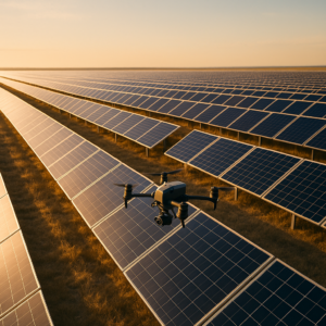
Beyond listing visuals: mapping, overlays, and 3D for development
For infill and development marketing, we extend the package with data-driven visuals:
- Orthomosaic site plans: High-resolution top-down images with labelled phases, access roads, and amenity callouts (non-survey marketing overlays).
- Geo-tagged stills: Document progress for stakeholder updates, lenders, and municipal communications.
- 3D context models: Photogrammetric point clouds and textured meshes for fly-throughs, when appropriate for marketing. (For survey-grade deliverables, we partner with licensed surveyors and use photogrammetry platforms like those documented by Pix4D.)
These hybrid deliverables replace helicopter day-rates and reduce on-site coordination time. They also produce reusable assets you can drop into social, pitch decks, and site signage.
Weather, scheduling, and contingency
Canada’s seasons are dramatic—and we plan for them. We monitor METAR/TAF, winds aloft, and localized gust profiles. If light rain or gust fronts threaten quality, we pivot to an alternate window to protect your hero shots. In winter, battery conditioning and hand-launch techniques extend safe operations. On premium packages, we include a weather backup day at no charge.
Privacy, neighbours, and community relations
We take neighbour relations seriously. Our teams maintain elevated standoff distances, capture only what’s necessary to market the subject property, and avoid lingering over adjacent homes. Where beneficial, we notify immediate neighbours or schedule early-morning windows to reduce disturbance. We are fully insured and follow Transport Canada’s safe operation standards, which you can review on the official RPAS safety page.
Who we serve—and where
We support national brokerages, boutique agencies, developers, property managers, hospitality groups, and REITs. Our crews operate across the GTA and Southern Ontario with regular coverage in Vancouver, Calgary, Edmonton, Ottawa, Montreal, Halifax, and in-between corridors by request. For mixed-use and construction-adjacent assets, we coordinate with your GC or site superintendent to ensure safe access and compliant operations.
Why partner with Mostavio-SkyTech
- Certified and insured: Advanced-certified pilots, compliant aircraft, and documented SOPs for Canadian operations.
- Enterprise-grade capture: Sensors and flight profiles tuned for property marketing, not hobby footage.
- Editorial consistency: Brand-aligned colour, LUTs, graphics, and naming conventions across markets.
- Operational reliability: Airspace approvals, weather contingencies, and fast edits—so MLS doesn’t slip.
- End-to-end support: From one-off listings to national rollouts, we align team, tooling, and timelines.
If you also need conventional ground media, interiors, or social-first agent reels, we bundle them alongside your real estate aerial photography drone canada package so you manage one vendor and one timeline.
Your next steps
Tell us about the property, target go-live date, and must-have deliverables. We’ll confirm airspace, schedule the shoot, and provide a simple quote with baseline and premium options. If you’re coordinating multi-city launches, we’ll assign a single project manager to keep everything on rails. If you prefer a quick conversation, you can book a free consultation and we’ll outline the best-fit approach in under 15 minutes.
For a deeper look at our vertical-specific approach to property marketing, explore our aerial drone services for real estate and see how we integrate aerials with ground media and brand assets nationwide.
Conclusion: make every listing launch count
In a market where first impressions happen on small screens, the fastest way to differentiate a property is with crisp, context-rich visuals from above. With Mostavio-SkyTech, you get a national partner that understands deadlines, compliance, and brand standards—and delivers. Whether it’s a downtown condo carousel, a suburban detached hero set, or a luxury waterfront film, our real estate aerial photography drone canada service is built to convert attention into showings. If you manage a portfolio, we’ll scale that same real estate aerial photography drone canada consistency across cities; if you’re launching one marquee listing, we’ll craft a premium real estate aerial photography drone canada package with twilight, 360s, and neighbourhood narratives. However you market, we’ll make the most of real estate aerial photography drone canada for faster, stronger listing outcomes.
Ready to Take the Next Step?
Whether you need drone pilot certification, a custom engineered
solution, help navigating Transport Canada permits, or a professional
drone service for your next project — Mostavio-SkyTech is your
trusted partner in Canada.
Contact us today for a free consultation
and let’s build something great together.